
The Challenge
In 5 days, using the Google Design Sprint methodology, create a context-aware system that adjusts based on motion, location, or travel mode—balancing attention, navigation, and safety.
Skills: Literature Review, Competitive Audit, Rapid Prototyping, Affinity Mapping, Storyboarding
Approach
In a team of three, we were to create an interactive prototype that assisted older adults with indoor navigation.
Researcher and Prototyper
Tools
Slack, Miro, FigJam, Figma


Problem Statement
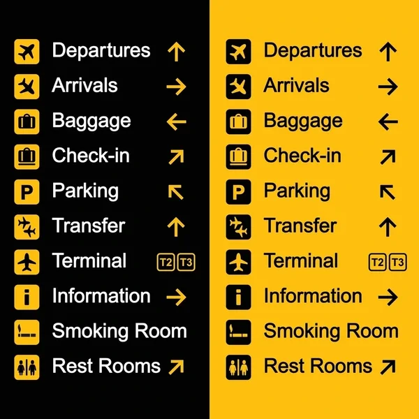
The current state of indoor navigation tools for complex environments, such as airports, lacks consideration for people with mobility disabilities and older adults. What existing tools fail to address is the common problems aging populations face while navigating indoor environments (e.g., visual problems, cognitive impairments, unclear guidance, and delayed assistance). Digital tools emphasize assisting the blind and visually impaired with usability based on simulated results rather than actual insights from the lived experiences of those affected.
We propose a context-aware system that helps older adults—disabled and able-bodied—better navigate these environments with continued, proper guidance and clear assistance to their destination.

Key UnderstandingThe thought process behind an able-bodied person’s execution of a task differs from that of an older adult or one with disabilities.

Primary issues among the aging population are forgetfulness, visual problems, and cognitive impairment; the specificity of directions is paramount to the success of the product.
1
A majority of indoor navigation apps focus on blind and visual impairments, with little consideration for other disabilities or other adults.
2
Visualization of direction, route distance, task information, and an assistance function would provide continuous guidance that users can easily reference.
3
A combination of IMU sensors and RSS fingerprints would allow better visual navigation and guidance that’s quickly accessible via a phone app.
4
The PlanThe affinity mapping session helped us settle on the type of digital product we wanted to create: a mobile application geared towards helping adults aged 40 to 60 navigate through complex and large airports.
The storyboard acted as a guide for the essential interactions and elements required to help Andrea successfully navigate the complex environment.
To reach her gate, Andrea uses our app to scan in her flight information ahead of time. The data is processed and used to create a visual pathway that uses AR to draw a path to her location. Audio cues add clarity and assistance during her journey. She can preview her route, including directions, distance, and arrival, add stops, and receive visual and auditory instructions with clear confirmation when she arrives at her destination.
Iterate and RefineOur team completed a one-week design sprint that proved both productive and insightful. I went back and refined the prototype to incorporate user feedback. The changes included:
Instead of toggling to the next step, users can simply tap the center of the screen.
1
Captions were shifted to toggle only, and language was altered to improve clarity and avoid mobility assumptions.
2
A route preview was added to the map feature with steps clearly displayed.
3
Back Arrows, as well as a route cancellation overlay (option to add a stop, pause route, or end route) were added for clearer exits and navigation.